|
|
TAG: canvas, edition, mapping, software, , mapping edition, gis mapping, gis mapping edition, gis analysis software, Best Search Category: Computers Production, Financial Indicators, Housing Indicators, Interest Rates, Stock Prices, mobile phone contracts, new mobile phone, orange mobile phone, o2 mobile phone, best mobile phone, 3g mobile phone, sharp mobile phone, mobile phone networks, mobile phone tariffs, mobile phone offer
License / Price:
Shareware / 549.99 $
|
Category :
Multimedia & Graphics
/ CAD
|
Requirements :
|
Publisher / Limitations:
ACD Systems / |
Size / Last Updated:
55501KB / 2008-02-13 |
TAG: canvas, edition, mapping, software, ,
mapping edition, gis mapping, gis mapping edition, gis analysis software,
|
Operating System:
WinXP, Windows2000 |
Download:
Download
|
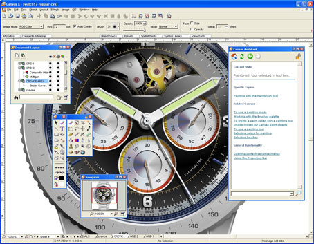
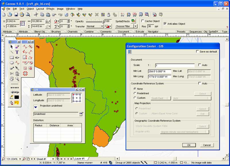
Publisher's description - Canvas GIS Mapping Edition
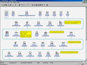
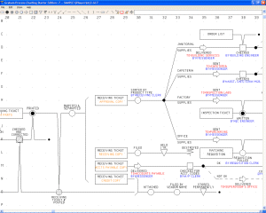
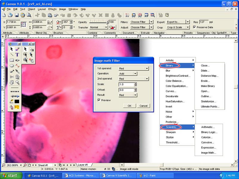
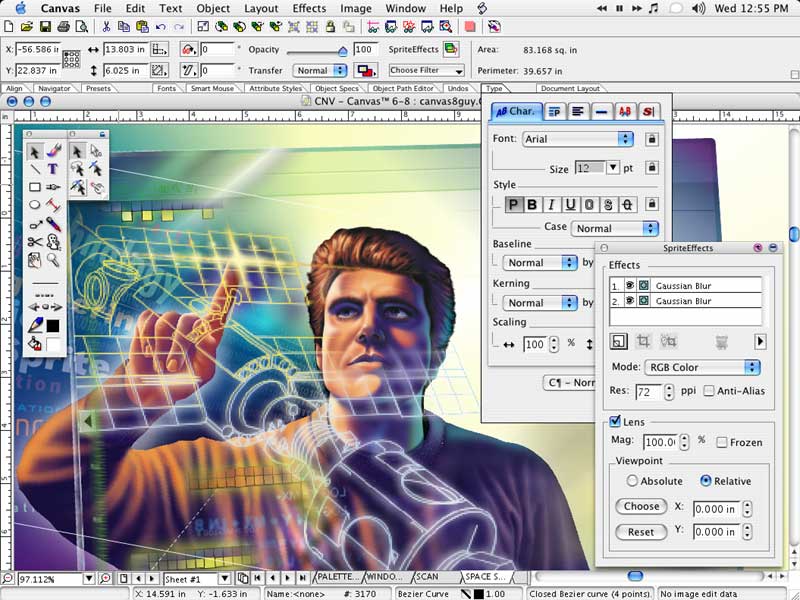
The CANVAS 9 GIS Mapping Edition adds native support for Geographic Information System (GIS) data to Canvas. You can take measurements in geographic coordinates, import industry standard SHAPE and GeoTIFF files into unlimited numbers of automatically aligned overlapping layers and choose among the following options:
2,104 Coordinate Reference Systems
67 Operation Methods (like Mercator, Albers Conic Equal Area)
1,052 Map Projections
302 Geodetic Datums
21 Angular units
45 Length units
The CANVAS 9 GIS Mapping Edition bridges the gap between dedicated GIS analysis software and generic "DTP" software. For many applications CANVAS 9 GIS Mapping Edition can now replace programs costing thousands. For the rest, CANVAS 9 GIS Mapping Edition is now the preferred "last mile" publishing companion to dedicated GIS analysis software.
|
Related app - Canvas GIS Mapping Edition
|
Also see ...
...in Multimedia & Graphics  1)
AmeriImager
1)
AmeriImager
Powerful all-in-one solution for image editing, conversion, viewing, and much more. Over 60 image, animation, and video formats are supported. Advanced features include batch format conversion; thumbnailing; screen capture, slideshow, and much more...
2)
QIC Webfotoalbum
From your digital camera to the internet within 5 minutes!
Present your images to friends and relatives on the internet in the easiest way with QIC Webfotoalbum! QIC Webfotoalbum creates an HTML photo gallery from image files (JPEG, BMP, TIFF, PCX...) and uploads the gallery to any internet server.
Create an album, import your pictures, publish - done!
Create a new gallery and drag and drop single photos or a complete image folder with your mouse to the software. QIC Webfotoalbum creates a compl...
|
...in CAD
1)
Get Layers 2.0CAD by BudCAD - Software Free Download
Get Layers will create AutoCAD drawing layer reports in Word or Excel by importing the data from the current drawing. The layer data can be easily sorted by any criteria:In r14.01 the sort options are either ascending or descending by:Name, Color, Linetype, On/Off status, Frozen/Thawed status, Locked/Unlocked statusIn r2000 & 200i the options are the above plus:LineWeight, Plot Style and Plot/No Plot statusGet Layers can also be run from AutoCAD. The program will launch Word or Excel and send th...
2)
OrView
OrView is a Windows 95/98/ME Utility to view Orcad V4.x and Orcad 32-bit Dos files.
-It utilizes full 32 bit Windows code.
Features include:
-Viewing colors can be customized.
-Printing option included....
|
|
Related tags:
|
|